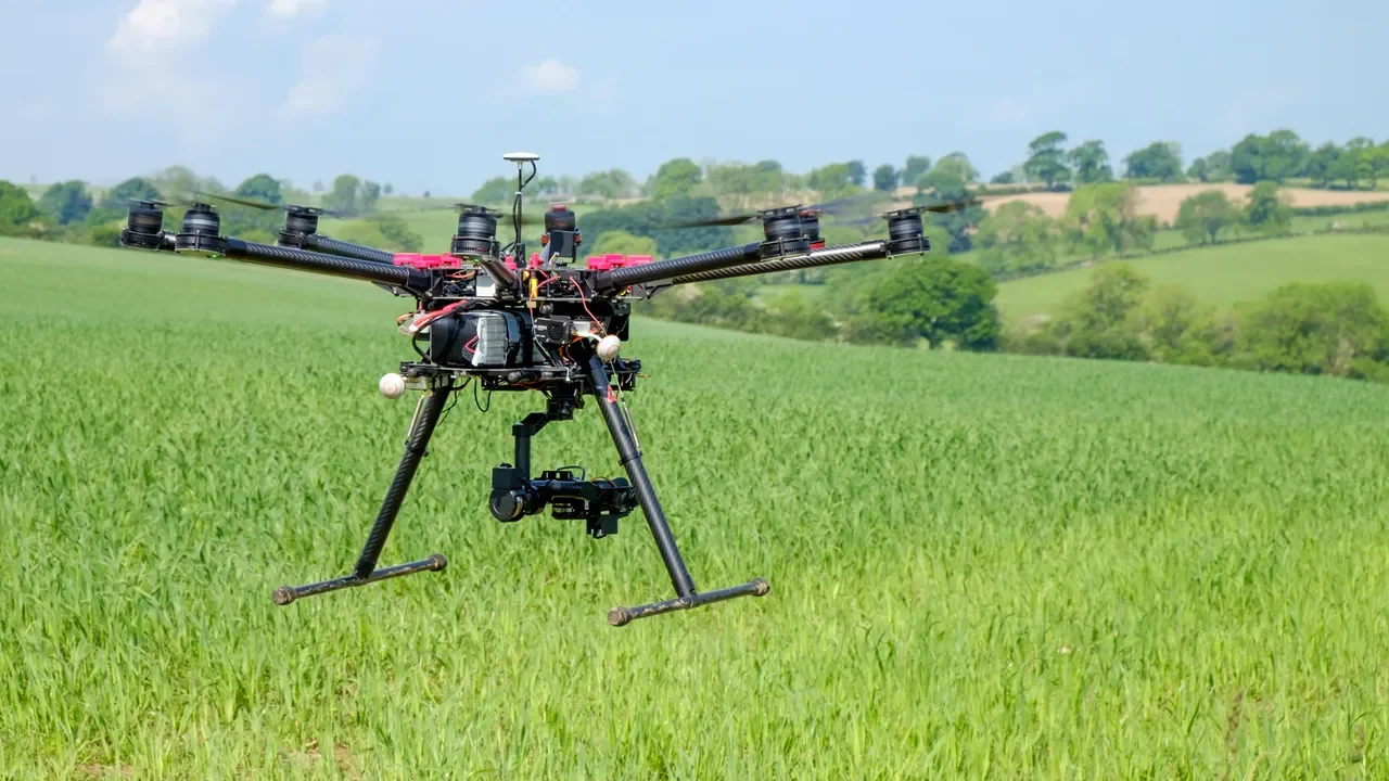
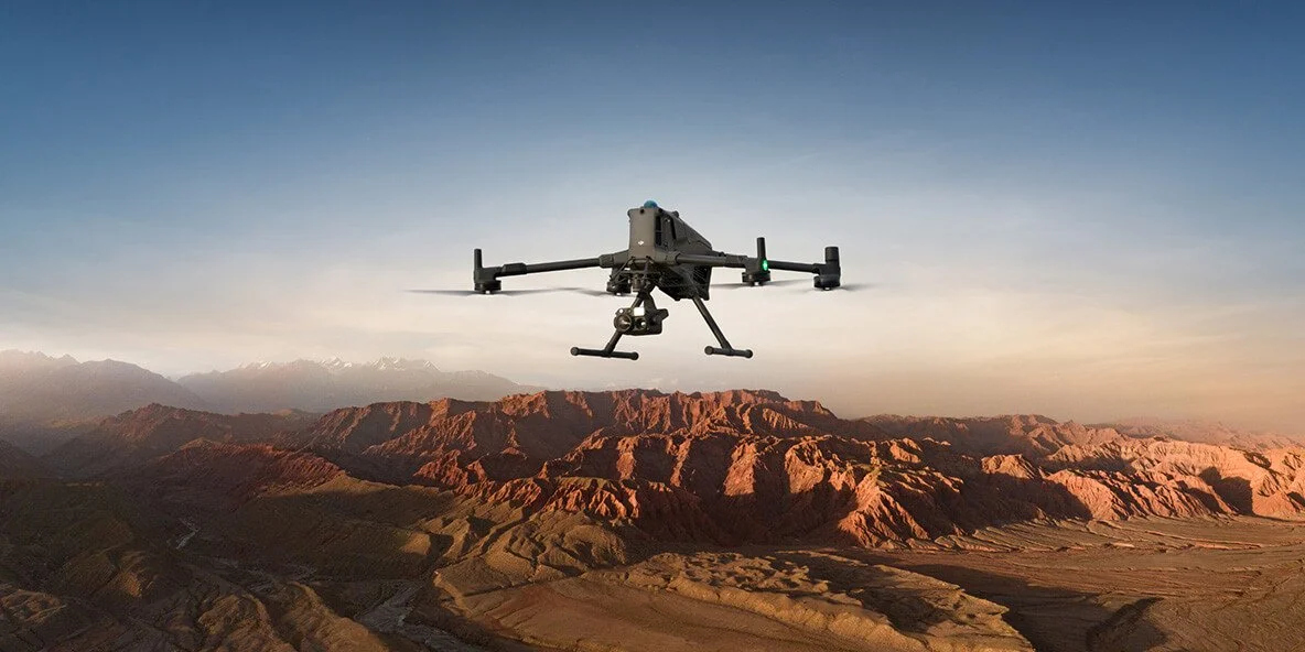
Agricultural Monitoring & Crop Health Mapping
We help farmers and agricultural companies turn aerial data into smarter decisions.
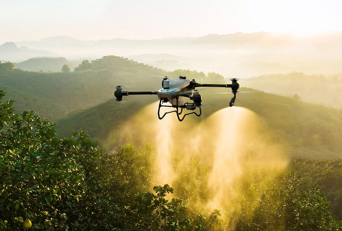
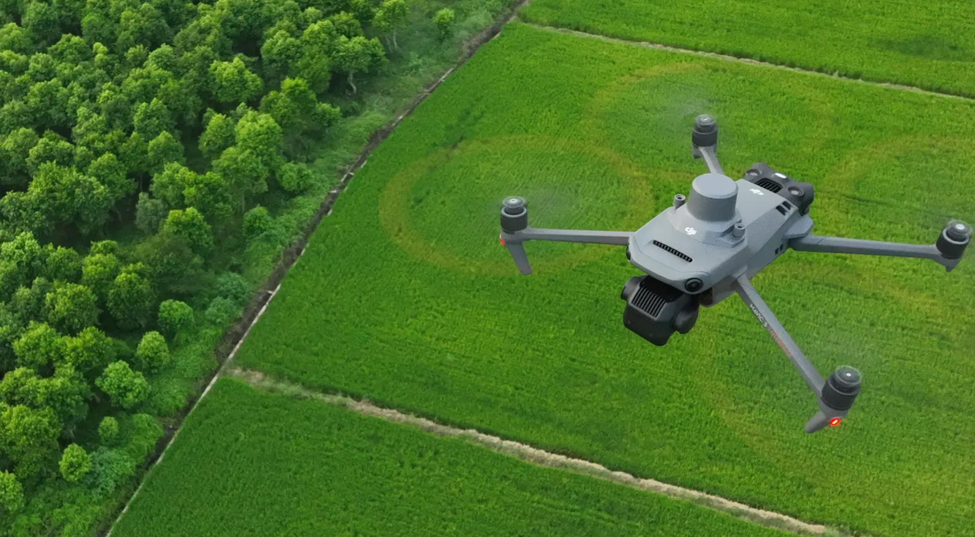
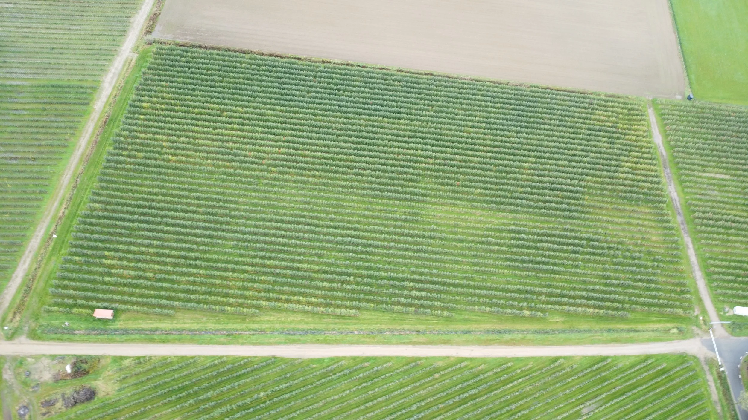
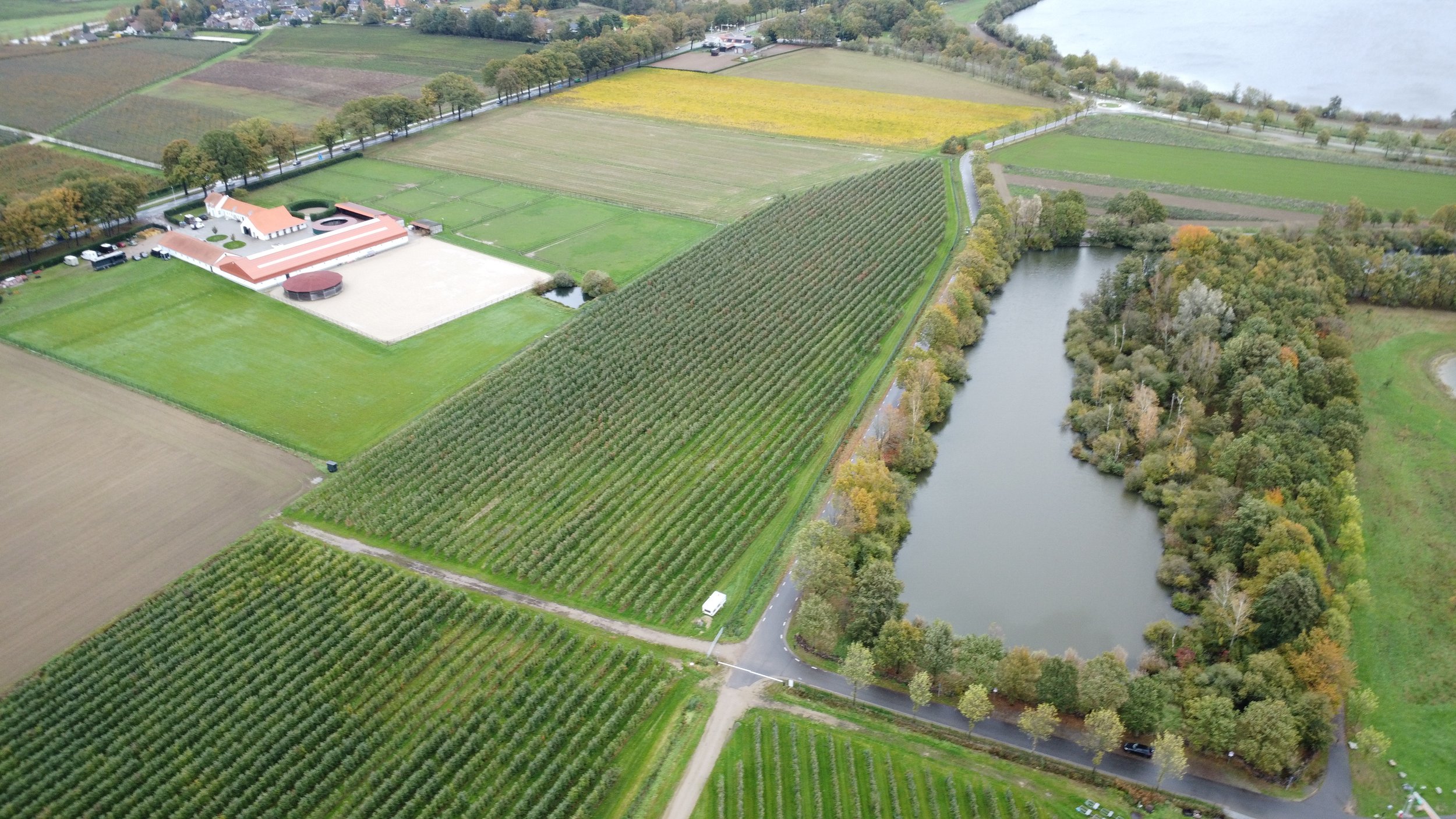
Through multispectral and thermal imaging, we monitor crop health, water distribution, and soil conditions with pinpoint accuracy.
Aerozentra’s agricultural scans reveal exactly where your land needs attention — saving time, water, and resources.
Together, we create precision agriculture that pays off.